ABAE uses satellite images to map plastic pollution on Isla de Aves
MINCYT
Published at: 17/07/2025 11:10 AM
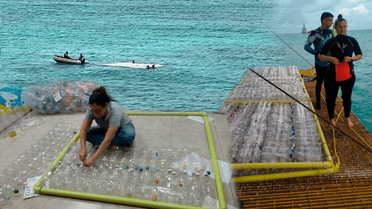
The Bolivarian Agency for Foreign Relations (ABAE) uses satellite technology to identify areas with plastic waste on Bird Island, in the North Caribbean Sea, in order to optimize the timing of initiatives and reduce the impact on the marine environment.
The initiative stems from a study prepared by the Department of Space Applications, attached to the Scientific Measurements Division, which uses multidimensional data to map underwater areas.
Geoscience engineer Jesús Camacho explained that the team used remote sensing to detect the spectral signatures associated with plastic. To this end, six exhibits were designed with 500 pieces of glass to improve views of the waterfront.
Camacho explained that the spectral values of these captures were obtained through mathematical adjustments to consider environments with a high concentration of macroplastics, which were used in the process.
Biologist Rosana Sánchez, a member of the technical team, explained that the study combines geospatial data, materials such as pet and the impact of storage, which makes it easier to make decisions about cleaning beaches and protecting the marine environment.
As published by the Ministry of Popular Power for Science and Technology (MINCYT), the scientific work is part of the objectives of President Nicolás Maduro's sixth transformation (6T) and reaffirms ABAE's commitment to the protection of the environment and national technological development.
Mazo News Team