INTU executes cartographic land inventory in La Guaira
Screenshot
Published at: 14/07/2026 09:24 AM
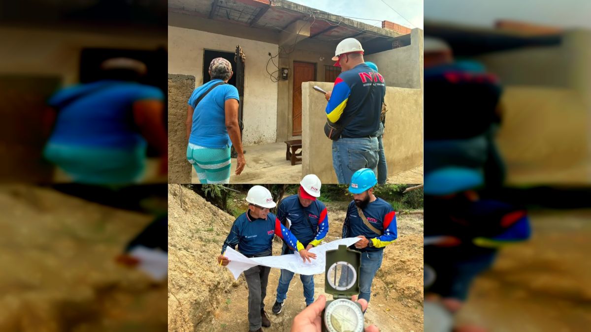
The National Institute of Urban Lands (INTU), following instructions from the president in charge Delcy Rodríguez and the Minister of Habitat and Housing, Paola Posani, is carrying out the cartographic land inventory in the Mare Abajo polygonal area, La Guaira state.
This work, based on the extensive experience of the INTU in pre-construction evaluations, guarantees the viability of land in the area. The applied technical diagnosis purifies and sincerely evaluates potential damage, obtaining as a result a dynamic risk mapping that crosses the susceptibility variables of the land with the density of the structured plot.
With this survey, the Venezuelan State has an updated geospatial database that facilitates the taking of preventive actions and the design of public policies aimed at urban habitability, in order to guarantee the tranquility of the people.
Mazo News Team