Venezuela presents satellite technology for forest monitoring at FAO
Courtesy
Published at: 14/05/2025 03:40 PM
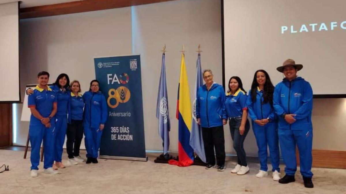
The Bolivarian Republic of Venezuela presents satellite technology for forest monitoring during its participation in the Regional Remote Sensing Survey Workshop for Latin American Countries, held by the United Nations Food and Agriculture Organization (FAO), in Santa Marta, Colombia, until May 16.
Within the framework of the Global Forest Resources Assessment 2025 (FRA 2025), the meeting aims to strengthen technical capacities in remote sensing and analysis of satellite images for the monitoring of natural resources.
The event is attended by a Venezuelan delegation composed of eight officials from the Ministry for Ecosocialism, who focus their intervention on the use of the Collect Earth Online platform, a free and open source tool that allows the analysis of high-resolution satellite images.
Venezuelan experts analyze more than 250 land cover samples, including forests, mangroves, fires and agroforestry systems, results that will strengthen decision-making in public policies, aligned with the Plan of the Homeland and the Great Mission Mother Earth Venezuela.
Mazo News Team