Venezuela strengthens disaster management with satellite and cartographic technology
MinCyt Press
Published at: 12/05/2026 05:20 PM
Venezuela reaffirms its commitment to the sovereign and supportive use of space technology, for the processing of satellite images and the development of cartographic products that actively contribute to disaster management, the authorities of the Bolivarian Agency for Space Activities (ABAE) reported.
The entity, attached to the Ministry of Popular Power for Science and Technology (MinCyT), thus confirms that these capacities framed in the Organic Law of the Homeland Plan and the Seven Great Transformations 2025-2031 position Venezuela as a world leader in space applications aimed at public service.
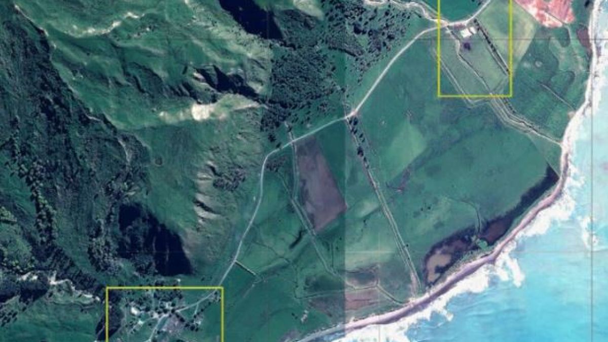
Through the Directorate of Space Applications (DAE), high-resolution images are acquired from national satellites such as Sucre (VRSS-2). These captures are processed with remote sensing algorithms to generate thematic maps that identify areas affected by floods, landslides, fires and storms, even in areas that are difficult to access.
Specialist Carlos Zerpa explained that this integration “has transformed risk management, from a model based on emergency response to a proactive one. The ability to generate highly accurate thematic maps allows national authorities, such as Civil Protection, security agencies and ministries, to visualize complex scenarios through multitemporal analysis and the detection of changes.”
He also stressed that “by means of spatial data, areas susceptible to flooding are determined; this translates into land planning plans based on technical data, optimizing evacuation routes and strengthening vital infrastructures before the event occurs,” MinCyT announced on its website.
Spatial solidarity and international cooperation
Venezuela's participation in the International Charter on Space and Major Disasters expresses the solidarity that guides its foreign policy. During the month of April, ABAE acted as a supplier of value-added products in activations of the Charter due to floods registered in the Dominican Republic, Kazakhstan and New Zealand; this work facilitated the comparison of scenarios before and after each event to guide the humanitarian response.
“The products supplied are not just graphic representations; they are tools that allow international rescue teams to know the real magnitude of the disaster in areas that are difficult to access,” said Zerpa, who stressed that “this operational synergy guarantees the interoperability of orbital infrastructures, optimizing the capacity for humanitarian response and the mitigation of major disasters under a cross-border cooperation approach,” he stressed
With these actions, Venezuela projects itself before the international community as a nation with real technical sovereignty, capable of providing spatial knowledge for the benefit of other peoples. In this way, the country strengthens its scientific diplomacy and its presence in multilateral disaster risk reduction mechanisms.
Mazo News Team