FUNVISIS analyzes geological ruptures to update risk maps
Internet
Published at: 07/08/2026 07:15 PM
The specialists of the Venezuelan Foundation for Seismological Research (FUNVISIS) are still deployed to carry out the survey of co-seismic geological evidence, to characterize the land deformations recorded after recent earthquakes and to update the country's risk mapping.
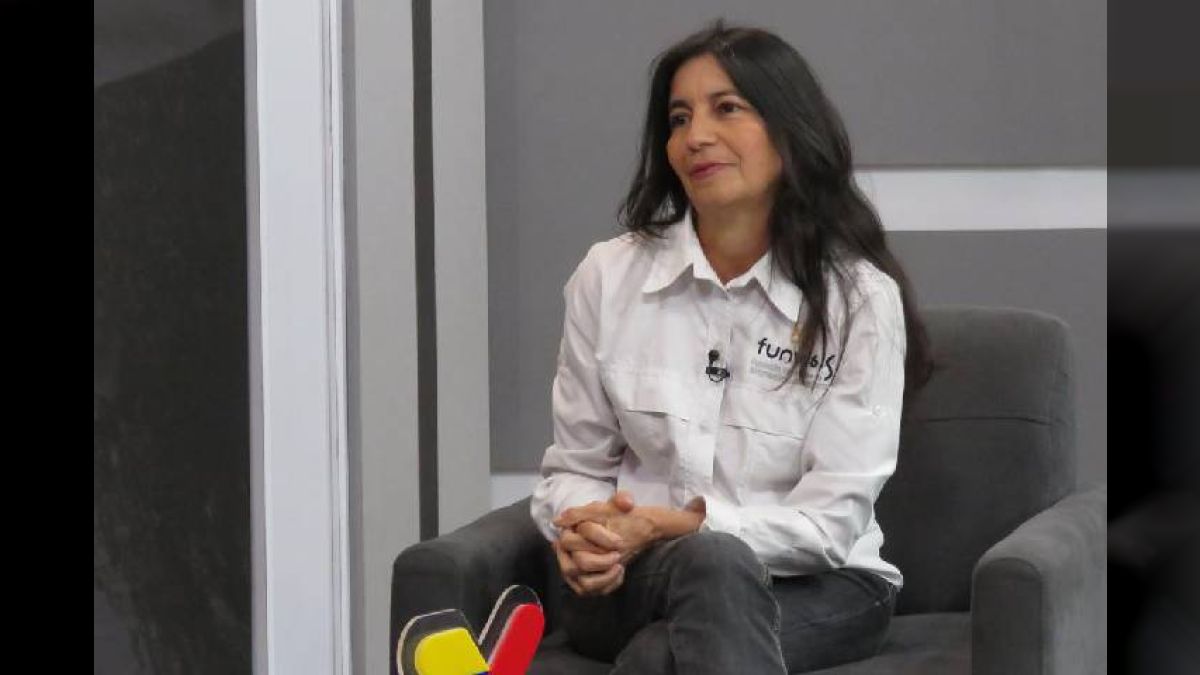
During an interview with Venezolana de Televisión, the director of the Department of Earthquake Geology at FUNVISIS, Luz María Rodríguez, specified that attention has been focused mainly on the state of La Guaira because it has greater damage, as well as on Yaracuy, the epicentral area of earthquake events.
“Throughout this strip, we have identified multiple evidences that allow us to map the affected geological areas,” he said.
He assured that the survey is carried out in collaboration with specialists from the Central University of Venezuela (UCV), Simon Bolivar University (USB), among other institutions.
In this regard, Rodríguez highlighted that among the evidence collected in these areas are surface rupture, soil liquefaction and lateral relaxation.
He explained that in some sectors the combination of lateral relaxation and surface rupture was witnessed.
These evidences have a technical, preventive and urban planning purpose. It is not done just to record the damage, but to protect the population against future earthquakes.
The specialist emphasized the importance of seismic microzoning studies to understand soil behavior and delimit geological hazards in each sector, a key input to guide reconstruction, land use and risk management plans in the country.
Mazo News Team